Bangalore to Talakadu

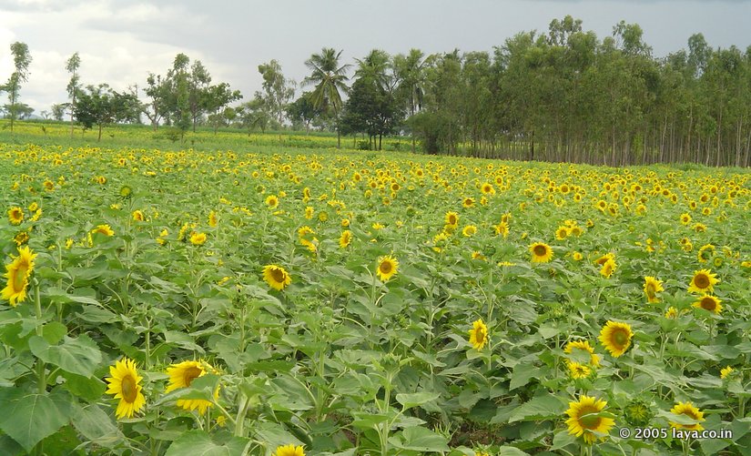
Sunflower Fields on the Way to Talakadu
Sunflower Fields on the Way to Talakadu
H
ow to reach Talakadu ( talakad ) from Bangalore ? The following explores some of the popular driving routes are directions.Bangalore to Talakadu via Kanakapura (Route 1) distance is about 132 km.
Bangalore to Talakadu via Ramanagaram,Channapatna, Maddur, Malavalli (Route 2) distance is about 132 km.
There are multiple routes to drive to Talakadu from Bangalore.
The ideal choice is route 1. Exit Bangalore and get to the Kanakapura via NH209. There is a Kanakapura road exit on the NICE Road, if that helps you.
The second option is to use both the SH17 (Mysore Road) and then the Kanakapura Road (NH209). There is a state highway (SH33) connects Maddur with Kanakapura. Many opt for this route since there are a good deal of restaurant options on the Mysore Road (SH17).
The third route look longish, but if you other destinations like Srirangapatna, Somnathpur in your itinerary, consider this. The stretch around the Somnathpur side is a bit bad road to drive. From Srirangapatna, take the right diversion to Bannur. In fact this diversion appears on the Mysore highway a km before you enter Srirangapatna Island.
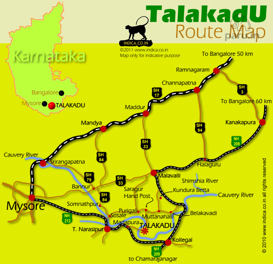
Route 1 : Bangalore to Talakadu via Malavalli (distance 132km) Bangalore –-62km--> Kanakapura –-27km--> Hagaluru –-19km--> Malavalli –-15km--> Gargur Handpost –-9km--> Talakadu.
Route 2 : Bangalore to Talakadu via Maddur (distance 132km) Bangalore –-50km--> Ramanagara –-12km--> Channapatna –-20km--> Maddur –-26--> Malavalli –-15km--> Gargur Handpost –-9km--> Talakadu.
Route 3 : Bangalore to Talakadu via Srirangapatna (distance 182km) Bangalore –-102--> Mandya –24--> Srirangapatna – Bannur – Somnathpur – T. Narsipur – Madapura – Talakadu.
You may also want to checkout the Cauvery Trail, for other attractions along Cauvery...

Route map to Talakkadu
Route map to Talakkadu
